Machars Cycle Route
Introduction
The photograph on this page of Machars Cycle Route by Oliver Dixon as part of the Geograph project.
The Geograph project started in 2005 with the aim of publishing, organising and preserving representative images for every square kilometre of Great Britain, Ireland and the Isle of Man.

There are currently over 7.5m images from over 14,400 individuals and you can help contribute to the project by visiting https://www.geograph.org.uk
Machars Cycle Route
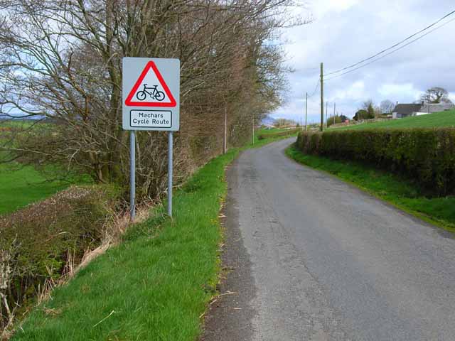
Image: © Oliver Dixon Taken: 1 May 2006
On the B7005 Glenluce to Wigtown road. The Machars are ideal cycling country, with little traffic and few steep hills. There are altogether three signed cycle routes along quiet roads.
Images are licensed for reuse under creativecommons.org/licenses/by-sa/2.0
Image Location


Leaflet Map data © OpenStreetMap
Latitude
54.850841
Longitude
-4.527986