Salters Lane
Introduction
The photograph on this page of Salters Lane by Philip Barker as part of the Geograph project.
The Geograph project started in 2005 with the aim of publishing, organising and preserving representative images for every square kilometre of Great Britain, Ireland and the Isle of Man.

There are currently over 7.5m images from over 14,400 individuals and you can help contribute to the project by visiting https://www.geograph.org.uk
Salters Lane
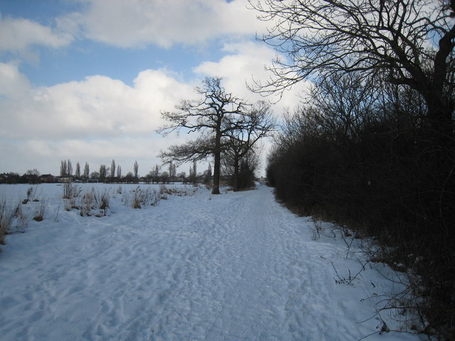
Image: © Philip Barker Taken: 10 Jan 2010
This photograph shows a view of Salters Lane after a recent fall of snow in early January. The picture was taken looking in a northerly direction towards the B6280 eastern approach road to Darlington.
Images are licensed for reuse under creativecommons.org/licenses/by-sa/2.0
Image Location
Latitude
54.516917
Longitude
-1.517704