Long Lane
Introduction
The photograph on this page of Long Lane by Martin Addison as part of the Geograph project.
The Geograph project started in 2005 with the aim of publishing, organising and preserving representative images for every square kilometre of Great Britain, Ireland and the Isle of Man.

There are currently over 7.5m images from over 14,400 individuals and you can help contribute to the project by visiting https://www.geograph.org.uk
Long Lane
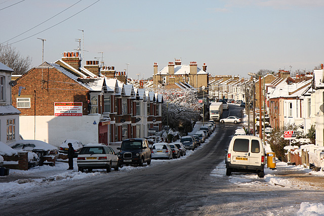
Image: © Martin Addison Taken: 7 Jan 2010
Looking across the dip by Cromwell and Montpelier Road's from the junction with Abingdon Road. The dip forms the lowest point along the lane and is sometimes liable to flooding. Beyond the Lane climbs up to the junction with Squires Lane before a kink to the left and continuing its climb to Church End and Ballards Lane. Not too sure what the driver of the Mercedes was doing but it doesn't seem to have involved hitting anything. Long Lane was gritted but the snow has stuck to the road regardless as the temperatures fell below Zero and stayed there.
Images are licensed for reuse under creativecommons.org/licenses/by-sa/2.0
Image Location
Latitude
51.599326
Longitude
-0.18075