Pendle Road, Clitheroe
Introduction
The photograph on this page of Pendle Road, Clitheroe by Bill Boaden as part of the Geograph project.
The Geograph project started in 2005 with the aim of publishing, organising and preserving representative images for every square kilometre of Great Britain, Ireland and the Isle of Man.

There are currently over 7.5m images from over 14,400 individuals and you can help contribute to the project by visiting https://www.geograph.org.uk
Pendle Road, Clitheroe
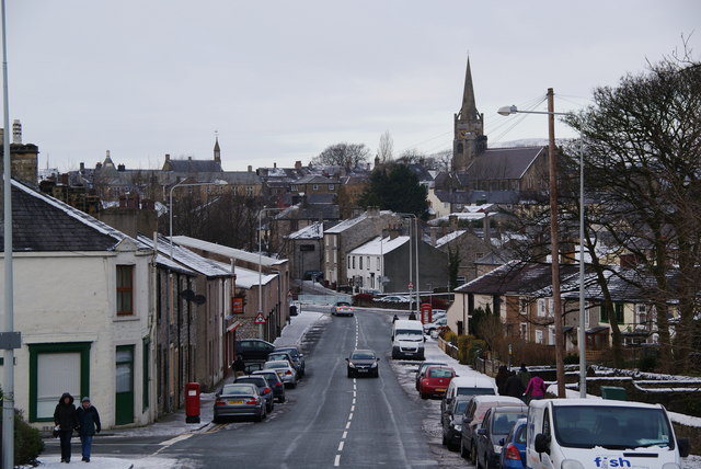
Image: © Bill Boaden Taken: 3 Jan 2010
This is the bottom end nearest the town centre. The castle is up to the left.
Images are licensed for reuse under creativecommons.org/licenses/by-sa/2.0
Image Location
Latitude
53.87151
Longitude
-2.387322