Houses on the west side of Brynglas Avenue, Newport
Introduction
The photograph on this page of Houses on the west side of Brynglas Avenue, Newport by Jaggery as part of the Geograph project.
The Geograph project started in 2005 with the aim of publishing, organising and preserving representative images for every square kilometre of Great Britain, Ireland and the Isle of Man.

There are currently over 7.5m images from over 14,400 individuals and you can help contribute to the project by visiting https://www.geograph.org.uk
Houses on the west side of Brynglas Avenue, Newport
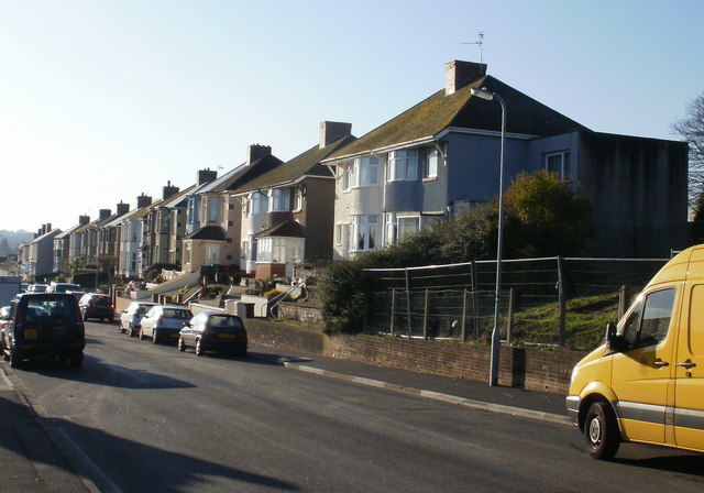
Image: © Jaggery Taken: 1 Jan 2010
These houses along the middle section of the west side of Brynglas Avenue are set a couple of metres above the level of the road. The fenced-off area next to the yellow van is a currently derelict site where prefabs (prefabricated bungalows) were located.
Images are licensed for reuse under creativecommons.org/licenses/by-sa/2.0
Image Location
Latitude
51.600996
Longitude
-2.997635