Newton under Roseberry from Roseberry Topping
Introduction
The photograph on this page of Newton under Roseberry from Roseberry Topping by Philip Barker as part of the Geograph project.
The Geograph project started in 2005 with the aim of publishing, organising and preserving representative images for every square kilometre of Great Britain, Ireland and the Isle of Man.

There are currently over 7.5m images from over 14,400 individuals and you can help contribute to the project by visiting https://www.geograph.org.uk
Newton under Roseberry from Roseberry Topping
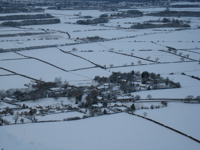
Image: © Philip Barker Taken: 20 Dec 2009
This photograph shows a view of the village of Newton under Roseberry from the top of Roseberry Topping. The picture was taken after a heavy fall of snow. At the top of the picture it is possible to see the south-western edge of the village of Nunthorpe.
Images are licensed for reuse under creativecommons.org/licenses/by-sa/2.0
Image Location
Latitude
54.507748
Longitude
-1.118736