Laneside hedge and field
Introduction
The photograph on this page of Laneside hedge and field by Andrew Hill as part of the Geograph project.
The Geograph project started in 2005 with the aim of publishing, organising and preserving representative images for every square kilometre of Great Britain, Ireland and the Isle of Man.

There are currently over 7.5m images from over 14,400 individuals and you can help contribute to the project by visiting https://www.geograph.org.uk
Laneside hedge and field
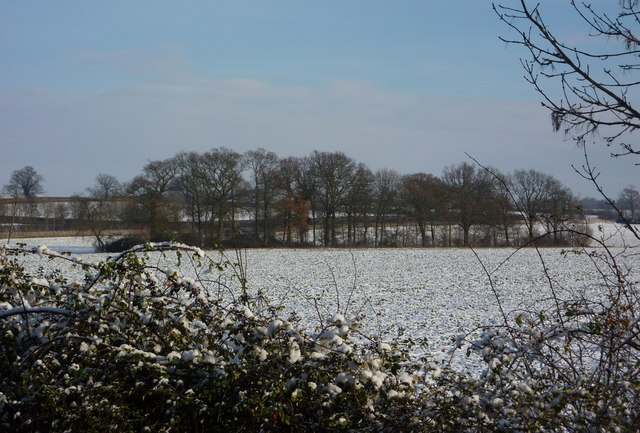
Image: © Andrew Hill Taken: 19 Dec 2009
Looking towards a line of trees in the next square which is shown on the 1:25,000 map.
Images are licensed for reuse under creativecommons.org/licenses/by-sa/2.0
Image Location
Latitude
52.23518
Longitude
0.882521