The road to the Slaughters
Introduction
The photograph on this page of The road to the Slaughters by Michael Dibb as part of the Geograph project.
The Geograph project started in 2005 with the aim of publishing, organising and preserving representative images for every square kilometre of Great Britain, Ireland and the Isle of Man.

There are currently over 7.5m images from over 14,400 individuals and you can help contribute to the project by visiting https://www.geograph.org.uk
The road to the Slaughters
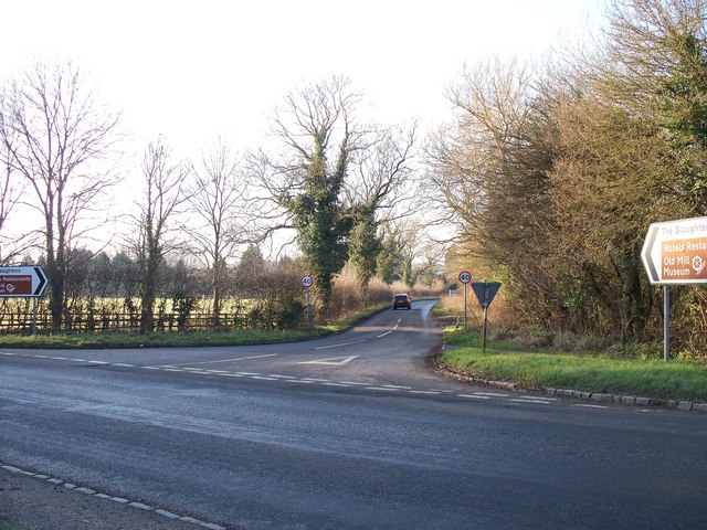
Image: © Michael Dibb Taken: 13 Dec 2009
Seen from the opposite side of the Fosse Way, the road leads to Lower Slaughter and Upper Slaughter. The name of Slaughter has no connection with blood but is derived from the old English word Slohtre meaning a muddy place, which it may once have been.
Images are licensed for reuse under creativecommons.org/licenses/by-sa/2.0
Image Location
Latitude
51.899521
Longitude
-1.750412