Worlds End Lane
Introduction
The photograph on this page of Worlds End Lane by Ian Capper as part of the Geograph project.
The Geograph project started in 2005 with the aim of publishing, organising and preserving representative images for every square kilometre of Great Britain, Ireland and the Isle of Man.

There are currently over 7.5m images from over 14,400 individuals and you can help contribute to the project by visiting https://www.geograph.org.uk
Worlds End Lane
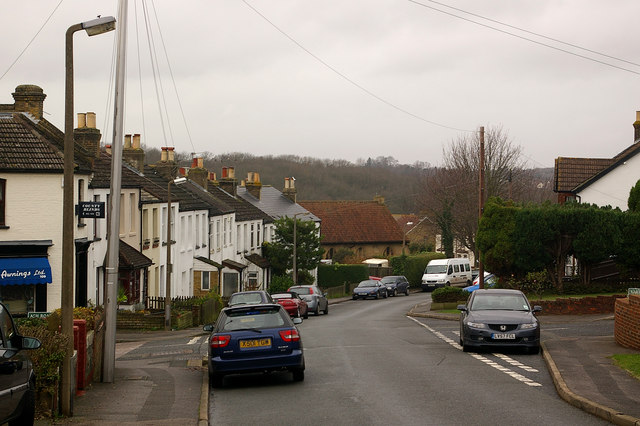
Image: © Ian Capper Taken: 9 Dec 2009
Housing dating from around the turn of the 19th/20th centuries. On the left is what was the post office until the late 1960s. In the background is St Mary's Church (see Image).
Images are licensed for reuse under creativecommons.org/licenses/by-sa/2.0
Image Location
Latitude
51.350541
Longitude
0.095164