Watercombe valley
Introduction
The photograph on this page of Watercombe valley by Jonathan Billinger as part of the Geograph project.
The Geograph project started in 2005 with the aim of publishing, organising and preserving representative images for every square kilometre of Great Britain, Ireland and the Isle of Man.

There are currently over 7.5m images from over 14,400 individuals and you can help contribute to the project by visiting https://www.geograph.org.uk
Watercombe valley
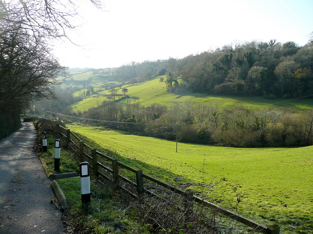
Image: © Jonathan Billinger Taken: 18 Dec 2009
Looking south, downhill, along Seller's Wood Hill leading towards Branscombe Beach.
Images are licensed for reuse under creativecommons.org/licenses/by-sa/2.0
Image Location
Latitude
50.703447
Longitude
-3.128853