Micklow Hill near Crossbury House
Introduction
The photograph on this page of Micklow Hill near Crossbury House by Philip Barker as part of the Geograph project.
The Geograph project started in 2005 with the aim of publishing, organising and preserving representative images for every square kilometre of Great Britain, Ireland and the Isle of Man.

There are currently over 7.5m images from over 14,400 individuals and you can help contribute to the project by visiting https://www.geograph.org.uk
Micklow Hill near Crossbury House
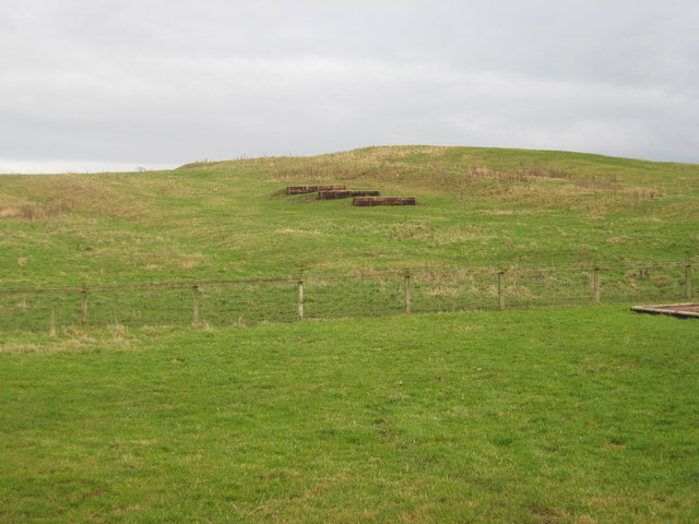
Image: © Philip Barker Taken: 13 Dec 2009
This photograph shows a north-easterly view of Micklow Hill taken from the public footpath that goes through the grounds of Crossbury House. There is a riding stable based here; the horizontal objects on the hillside are 'jumps' for riders and their horses.
Images are licensed for reuse under creativecommons.org/licenses/by-sa/2.0
Image Location
Latitude
54.485601
Longitude
-1.675237