2009 : Disused railway embankment at Bowerhill
Introduction
The photograph on this page of 2009 : Disused railway embankment at Bowerhill by Maurice Pullin as part of the Geograph project.
The Geograph project started in 2005 with the aim of publishing, organising and preserving representative images for every square kilometre of Great Britain, Ireland and the Isle of Man.

There are currently over 7.5m images from over 14,400 individuals and you can help contribute to the project by visiting https://www.geograph.org.uk
2009 : Disused railway embankment at Bowerhill
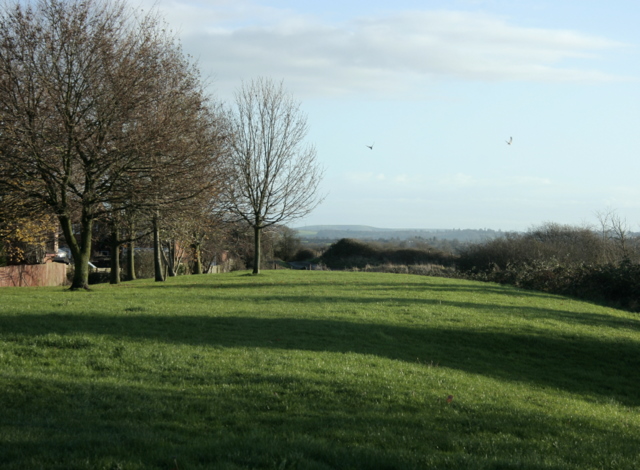
Image: © Maurice Pullin Taken: 6 Dec 2009
Looking east along the line of an embankment which once served a railway between Melksham and Devizes.
Images are licensed for reuse under creativecommons.org/licenses/by-sa/2.0
Image Location
Latitude
51.352964
Longitude
-2.119713