Wimborne, River Allen
Introduction
The photograph on this page of Wimborne, River Allen by Mike Faherty as part of the Geograph project.
The Geograph project started in 2005 with the aim of publishing, organising and preserving representative images for every square kilometre of Great Britain, Ireland and the Isle of Man.

There are currently over 7.5m images from over 14,400 individuals and you can help contribute to the project by visiting https://www.geograph.org.uk
Wimborne, River Allen
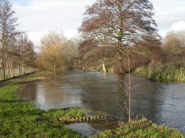
Image: © Mike Faherty Taken: 13 Dec 2009
Slightly swollen Allen, after recent rain. The Allen is a chalk stream tributary of the Stour, into which it flows just over 1km to the South. The river flows for about 20km, with its source near Wimborne St. Giles Image, to the North. As seen looking upstream.
Images are licensed for reuse under creativecommons.org/licenses/by-sa/2.0
Image Location
Latitude
50.802437
Longitude
-1.98519