Houses along Perran Wharf, Perranarworthal
Introduction
The photograph on this page of Houses along Perran Wharf, Perranarworthal by Tony Atkin as part of the Geograph project.
The Geograph project started in 2005 with the aim of publishing, organising and preserving representative images for every square kilometre of Great Britain, Ireland and the Isle of Man.

There are currently over 7.5m images from over 14,400 individuals and you can help contribute to the project by visiting https://www.geograph.org.uk
Houses along Perran Wharf, Perranarworthal
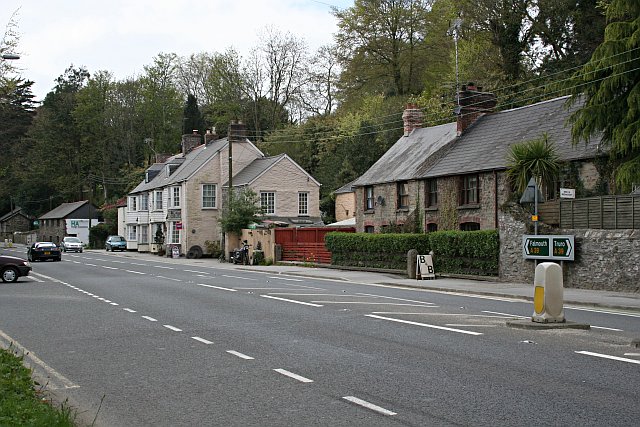
Image: © Tony Atkin Taken: 29 Apr 2006
The creek in which ships would have docked in the 19th century (off picture to the left) has long since silted up. The main road between Truro and Falmouth (A39) now runs where the dockside used to be.
Images are licensed for reuse under creativecommons.org/licenses/by-sa/2.0
Image Location
Latitude
50.204633
Longitude
-5.118019