2009 : Farrington Road, Paulton
Introduction
The photograph on this page of 2009 : Farrington Road, Paulton by Maurice Pullin as part of the Geograph project.
The Geograph project started in 2005 with the aim of publishing, organising and preserving representative images for every square kilometre of Great Britain, Ireland and the Isle of Man.

There are currently over 7.5m images from over 14,400 individuals and you can help contribute to the project by visiting https://www.geograph.org.uk
2009 : Farrington Road, Paulton
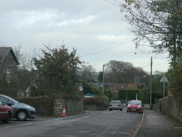
Image: © Maurice Pullin Taken: 16 Nov 2009
Heading into Paulton from Farrington Gurney. The blue/grey structure in the background to the right is the training tower on the Clutton Rural District Fire Station. Image]
Images are licensed for reuse under creativecommons.org/licenses/by-sa/2.0
Image Location
Latitude
51.305614
Longitude
-2.508346