Mead Path
Introduction
The photograph on this page of Mead Path by Derek Harper as part of the Geograph project.
The Geograph project started in 2005 with the aim of publishing, organising and preserving representative images for every square kilometre of Great Britain, Ireland and the Isle of Man.

There are currently over 7.5m images from over 14,400 individuals and you can help contribute to the project by visiting https://www.geograph.org.uk
Mead Path
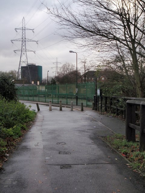
Image: © Derek Harper Taken: 30 Nov 2009
The path, carrying NCN 22, approaches Wandle Valley sewage works and some pylons. The concrete bollards indicate the end of Boundary Road, on the left.
Images are licensed for reuse under creativecommons.org/licenses/by-sa/2.0
Image Location
Latitude
51.421363
Longitude
-0.180634