Peggy's Wicket
Introduction
The photograph on this page of Peggy's Wicket by John Bedlington as part of the Geograph project.
The Geograph project started in 2005 with the aim of publishing, organising and preserving representative images for every square kilometre of Great Britain, Ireland and the Isle of Man.

There are currently over 7.5m images from over 14,400 individuals and you can help contribute to the project by visiting https://www.geograph.org.uk
Peggy's Wicket
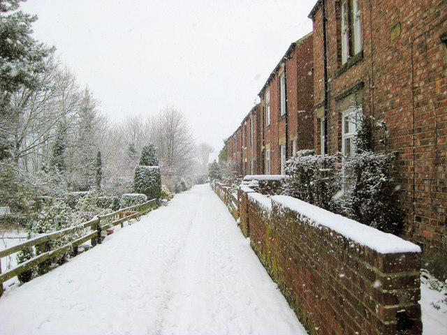
Image: © John Bedlington Taken: 12 Feb 2009
Old houses in Beamish known as Peggy's Wicket. Overlooking the old Consett railway line (now the C2C long distance cycle path). The gardens to the left are on the railway embankment. The C2C is about 15m to the north and 10m lower than this footpath, running parallel to it. Photograph taken from the footbridge over the C2C (takes you into Beamish Woods).
Images are licensed for reuse under creativecommons.org/licenses/by-sa/2.0
Image Location
Latitude
54.876746
Longitude
-1.649317