The Barnaby Public House, Bermondsey
Introduction
The photograph on this page of The Barnaby Public House, Bermondsey by David Anstiss as part of the Geograph project.
The Geograph project started in 2005 with the aim of publishing, organising and preserving representative images for every square kilometre of Great Britain, Ireland and the Isle of Man.

There are currently over 7.5m images from over 14,400 individuals and you can help contribute to the project by visiting https://www.geograph.org.uk
The Barnaby Public House, Bermondsey
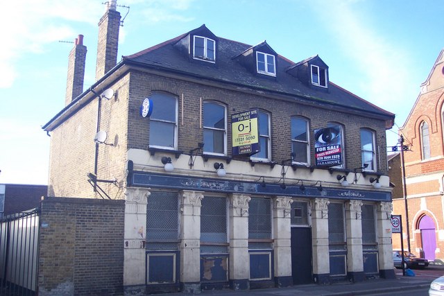
Image: © David Anstiss Taken: 27 Nov 2009
Closed pub on Ilderton Road, beside Manor Grove. Was once also the Canterbury Tavern. See http://www.london-se1.co.uk/forum/read/2/109041 for a chat-forum on the pub.
Images are licensed for reuse under creativecommons.org/licenses/by-sa/2.0
Image Location
Latitude
51.481562
Longitude
-0.054237