Church Farm, Naunton
Introduction
The photograph on this page of Church Farm, Naunton by Michael Dibb as part of the Geograph project.
The Geograph project started in 2005 with the aim of publishing, organising and preserving representative images for every square kilometre of Great Britain, Ireland and the Isle of Man.

There are currently over 7.5m images from over 14,400 individuals and you can help contribute to the project by visiting https://www.geograph.org.uk
Church Farm, Naunton
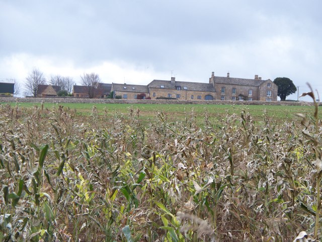
Image: © Michael Dibb Taken: 19 Nov 2009
Seen from the combined Diamond Way and Warden's Way long distance paths, Church Farm is situated adjacent to the B4068.
Images are licensed for reuse under creativecommons.org/licenses/by-sa/2.0
Image Location
Latitude
51.907149
Longitude
-1.847761