The B4020 approaching Burford
Introduction
The photograph on this page of The B4020 approaching Burford by andrew auger as part of the Geograph project.
The Geograph project started in 2005 with the aim of publishing, organising and preserving representative images for every square kilometre of Great Britain, Ireland and the Isle of Man.

There are currently over 7.5m images from over 14,400 individuals and you can help contribute to the project by visiting https://www.geograph.org.uk
The B4020 approaching Burford
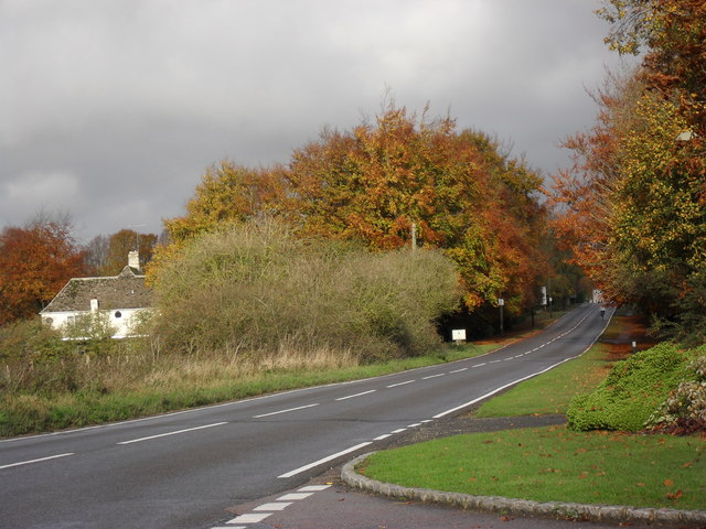
Image: © andrew auger Taken: 31 Oct 2009
Seen from the entrance to Burford Garden Centre.
Images are licensed for reuse under creativecommons.org/licenses/by-sa/2.0
Image Location
Latitude
51.800221
Longitude
-1.632336