Rosenithon
Introduction
The photograph on this page of Rosenithon by Jonathan Billinger as part of the Geograph project.
The Geograph project started in 2005 with the aim of publishing, organising and preserving representative images for every square kilometre of Great Britain, Ireland and the Isle of Man.

There are currently over 7.5m images from over 14,400 individuals and you can help contribute to the project by visiting https://www.geograph.org.uk
Rosenithon
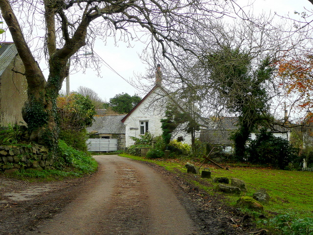
Image: © Jonathan Billinger Taken: 19 Nov 2009
A hamlet between St. Keverne and Porthoustock. Note the anchor half-buried in the ground to the right of the road.
Images are licensed for reuse under creativecommons.org/licenses/by-sa/2.0
Image Location
Latitude
50.050499
Longitude
-5.072105