Route of possible Stourport relief road
Introduction
The photograph on this page of Route of possible Stourport relief road by P L Chadwick as part of the Geograph project.
The Geograph project started in 2005 with the aim of publishing, organising and preserving representative images for every square kilometre of Great Britain, Ireland and the Isle of Man.

There are currently over 7.5m images from over 14,400 individuals and you can help contribute to the project by visiting https://www.geograph.org.uk
Route of possible Stourport relief road
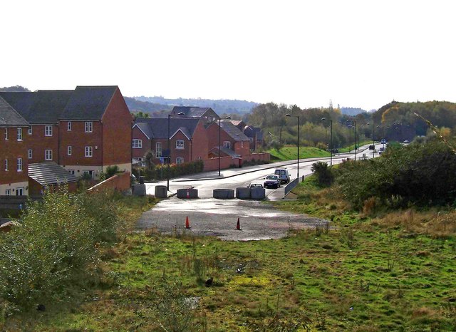
Image: © P L Chadwick Taken: 31 Oct 2009
The road in the distance, Millfields Drive, has been built on the site of part of a former railway line. This branched off the line serving Stourport, and went to the now demolished power station, near the River Severn. The road's present function is to give access to various residential developments. In the immediate foreground is the site of a possible continuation of this road, which would function as part of a relief road for the town. There is considerable doubt over whether this bit will ever be built. To do so would mean slicing through a section of the remaining green space between Stourport and Kidderminster, and would no doubt generate a huge row. Image
Images are licensed for reuse under creativecommons.org/licenses/by-sa/2.0
Image Location
Latitude
52.343704
Longitude
-2.266522