Track in the grounds of Monreith House
Introduction
The photograph on this page of Track in the grounds of Monreith House by Ann Cook as part of the Geograph project.
The Geograph project started in 2005 with the aim of publishing, organising and preserving representative images for every square kilometre of Great Britain, Ireland and the Isle of Man.

There are currently over 7.5m images from over 14,400 individuals and you can help contribute to the project by visiting https://www.geograph.org.uk
Track in the grounds of Monreith House
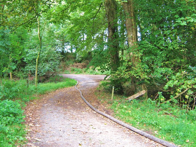
Image: © Ann Cook Taken: 17 Sep 2009
The track turning to the left leads to entrance of Monreith House. The track to the right leads to the White Loch of Myrton.
Images are licensed for reuse under creativecommons.org/licenses/by-sa/2.0
Image Location
Latitude
54.755152
Longitude
-4.555744