St Mary's allotments, Radford Road
Introduction
The photograph on this page of St Mary's allotments, Radford Road by Robin Stott as part of the Geograph project.
The Geograph project started in 2005 with the aim of publishing, organising and preserving representative images for every square kilometre of Great Britain, Ireland and the Isle of Man.

There are currently over 7.5m images from over 14,400 individuals and you can help contribute to the project by visiting https://www.geograph.org.uk
St Mary's allotments, Radford Road
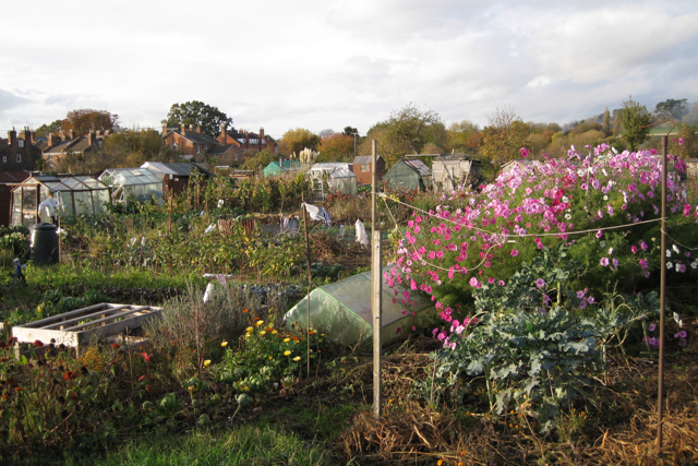
Image: © Robin Stott Taken: 31 Oct 2009
A large and wonderful site that also borders the River Leam. In the background, left, are the backs of properties in Leam Terrace East Image
Images are licensed for reuse under creativecommons.org/licenses/by-sa/2.0
Image Location
Latitude
52.285754
Longitude
-1.517652