Gladstone Park
Introduction
The photograph on this page of Gladstone Park by Martin Addison as part of the Geograph project.
The Geograph project started in 2005 with the aim of publishing, organising and preserving representative images for every square kilometre of Great Britain, Ireland and the Isle of Man.

There are currently over 7.5m images from over 14,400 individuals and you can help contribute to the project by visiting https://www.geograph.org.uk
Gladstone Park
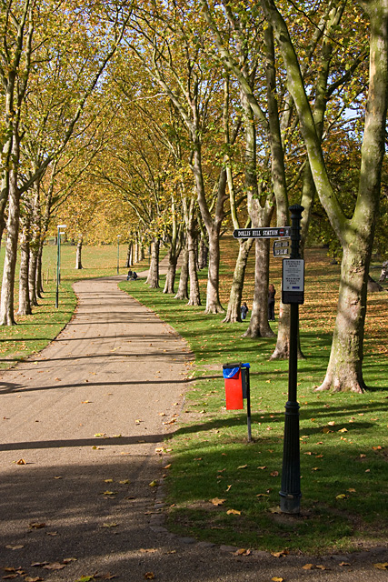
Image: © Martin Addison Taken: 23 Oct 2009
An avenue of Plane trees marks the course of one of the main footpaths across the park, routing from the bridge over the railway line at Dudding Hill Junction up to Dollis Hill Lane near the junction with Park View Road.
Images are licensed for reuse under creativecommons.org/licenses/by-sa/2.0
Image Location
Latitude
51.558134
Longitude
-0.233318