Footpath to Hailes
Introduction
The photograph on this page of Footpath to Hailes by Jonathan Billinger as part of the Geograph project.
The Geograph project started in 2005 with the aim of publishing, organising and preserving representative images for every square kilometre of Great Britain, Ireland and the Isle of Man.

There are currently over 7.5m images from over 14,400 individuals and you can help contribute to the project by visiting https://www.geograph.org.uk
Footpath to Hailes
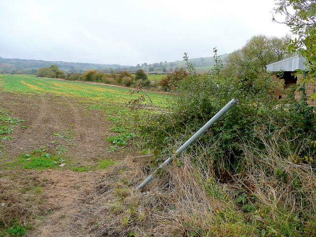
Image: © Jonathan Billinger Taken: 22 Oct 2009
Leaving the B4632 at Ireley farm and heading east towards the Cotswold scarp. The footpath sign has clearly been clobbered by farm equipment!
Images are licensed for reuse under creativecommons.org/licenses/by-sa/2.0
Image Location
Latitude
51.972688
Longitude
-1.945801