Footpath past Lodgefield House
Introduction
The photograph on this page of Footpath past Lodgefield House by Alan Murray-Rust as part of the Geograph project.
The Geograph project started in 2005 with the aim of publishing, organising and preserving representative images for every square kilometre of Great Britain, Ireland and the Isle of Man.

There are currently over 7.5m images from over 14,400 individuals and you can help contribute to the project by visiting https://www.geograph.org.uk
Footpath past Lodgefield House
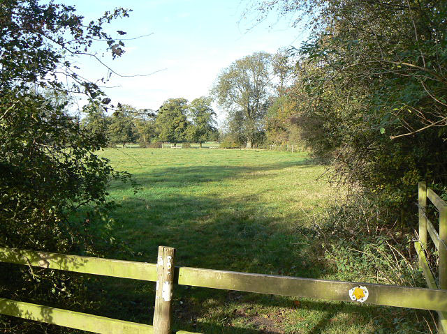
Image: © Alan Murray-Rust Taken: 13 Oct 2009
To the east of Lodgefield House the footpath is following a farm track which passes directly past the house. However, this track becomes a private road at that point, leaving the footpath to follow three sides of a rectangle before joining the lane again. This is the section of the path running parallel to the lane.
Images are licensed for reuse under creativecommons.org/licenses/by-sa/2.0
Image Location
Latitude
53.013906
Longitude
-0.954494