Wiltshire Road
Introduction
The photograph on this page of Wiltshire Road by Ian Capper as part of the Geograph project.
The Geograph project started in 2005 with the aim of publishing, organising and preserving representative images for every square kilometre of Great Britain, Ireland and the Isle of Man.

There are currently over 7.5m images from over 14,400 individuals and you can help contribute to the project by visiting https://www.geograph.org.uk
Wiltshire Road
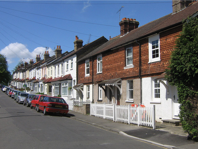
Image: © Ian Capper Taken: 1 May 2009
The first block of terrace on the right of this photo first appears on a map published in 1896. However, the road itself is marked in full, suggesting that the remaining houses would have followed soon after.
Images are licensed for reuse under creativecommons.org/licenses/by-sa/2.0
Image Location
Latitude
51.380592
Longitude
0.099899