B835
Introduction
The photograph on this page of B835 by Richard Webb as part of the Geograph project.
The Geograph project started in 2005 with the aim of publishing, organising and preserving representative images for every square kilometre of Great Britain, Ireland and the Isle of Man.

There are currently over 7.5m images from over 14,400 individuals and you can help contribute to the project by visiting https://www.geograph.org.uk
B835
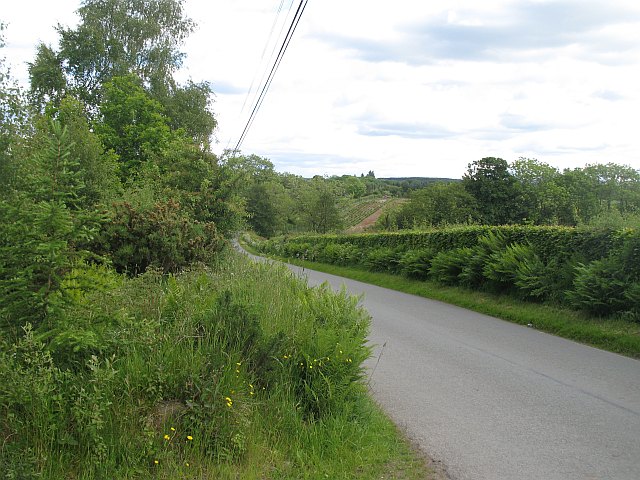
Image: © Richard Webb Taken: 11 Jun 2009
Minor road descending past Ward Toll Wood to cross the Pundy Burn.
Images are licensed for reuse under creativecommons.org/licenses/by-sa/2.0
Image Location
Latitude
56.117678
Longitude
-4.346476