A house in White Hill Close
Introduction
The photograph on this page of A house in White Hill Close by Adrian Beaumont as part of the Geograph project.
The Geograph project started in 2005 with the aim of publishing, organising and preserving representative images for every square kilometre of Great Britain, Ireland and the Isle of Man.

There are currently over 7.5m images from over 14,400 individuals and you can help contribute to the project by visiting https://www.geograph.org.uk
A house in White Hill Close
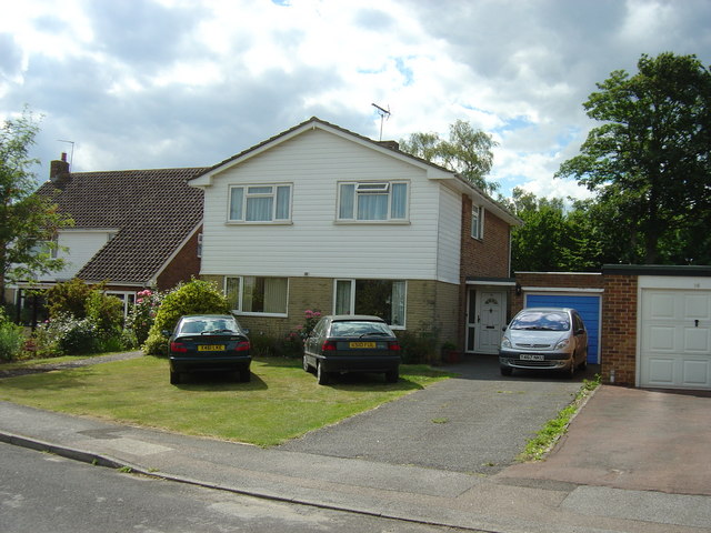
Image: © Adrian Beaumont Taken: 19 Jun 2004
A short road of 16 houses in the tiny village of Lower Hardres.
Images are licensed for reuse under creativecommons.org/licenses/by-sa/2.0
Image Location
Latitude
51.242803
Longitude
1.080388