An old mill?
Introduction
The photograph on this page of An old mill? by Graham Horn as part of the Geograph project.
The Geograph project started in 2005 with the aim of publishing, organising and preserving representative images for every square kilometre of Great Britain, Ireland and the Isle of Man.

There are currently over 7.5m images from over 14,400 individuals and you can help contribute to the project by visiting https://www.geograph.org.uk
An old mill?
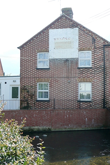
Image: © Graham Horn Taken: 28 Apr 2009
This is beside Ashford Water, a tributary of the River Avon. I could not read the sign in the flesh but being by the water this suggests some sort of mill. The central portion (vertically) between the windows looks to have been rebuilt, or perhaps it is the other way round.
Images are licensed for reuse under creativecommons.org/licenses/by-sa/2.0
Image Location
Latitude
50.925543
Longitude
-1.7935