Fields northeast of Bathealton
Introduction
The photograph on this page of Fields northeast of Bathealton by Derek Harper as part of the Geograph project.
The Geograph project started in 2005 with the aim of publishing, organising and preserving representative images for every square kilometre of Great Britain, Ireland and the Isle of Man.

There are currently over 7.5m images from over 14,400 individuals and you can help contribute to the project by visiting https://www.geograph.org.uk
Fields northeast of Bathealton
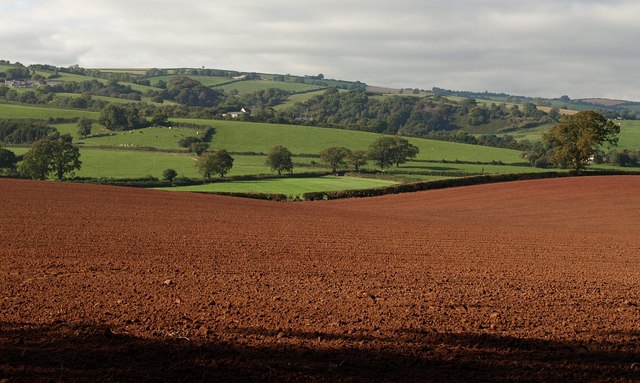
Image: © Derek Harper Taken: 29 Sep 2009
From the same spot as Image, and looking across the ploughed field shown in Image This low area between hills forms a watershed between the Tone and the Hillfarrance Brook - which ends up in the Tone anyway.
Images are licensed for reuse under creativecommons.org/licenses/by-sa/2.0
Image Location
Latitude
51.016775
Longitude
-3.308095