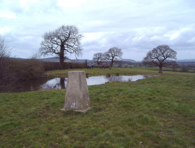
Trig. point at Ridley
Introduction
The photograph on this page of Trig. point at Ridley by Mike Harris as part of the Geograph project.
The Geograph project started in 2005 with the aim of publishing, organising and preserving representative images for every square kilometre of Great Britain, Ireland and the Isle of Man.
There are currently over 7.5m images from over 14,400 individuals and you can help contribute to the project by visiting https://www.geograph.org.uk

Image: © Mike Harris Taken: 12 Apr 2006
The view is to the NW. The trig. point (alt. 125m) lies just E of the A49 and just N of the A534 in the parish of Ridley. A telephone mast and covered reservoir lie just behind the photographer. This is the high point of the undulating land east of the Peckforton Hills and south of the Beeston Gap. The Peckforton Hills are seen in the distance, with Peckforton Castle on the central skyline 5 km away and Beeston Castle just visible on the skyline a little further to the right on its isolated hill nearly 6 km away. This part of Cheshire seems not to know whether it is supposed to be the Cheshire Plain or the sandstone hills and has a character of its own.

