A Victorian Terrace in Franconia Road, Clapham
Introduction
The photograph on this page of A Victorian Terrace in Franconia Road, Clapham by Chris Reynolds as part of the Geograph project.
The Geograph project started in 2005 with the aim of publishing, organising and preserving representative images for every square kilometre of Great Britain, Ireland and the Isle of Man.

There are currently over 7.5m images from over 14,400 individuals and you can help contribute to the project by visiting https://www.geograph.org.uk
A Victorian Terrace in Franconia Road, Clapham
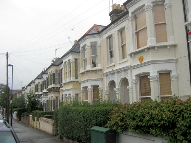
Image: © Chris Reynolds Taken: 15 Sep 2009
Franconia Road is a typical late-Victorian, middle-class terrace development within the grid of streets around Abbeville Road. The area developed rapidly as the spread of railways and the Tube in the area made commuting practical. The area, known as Clapham Park (http://en.wikipedia.org/wiki/Clapham_Park ), is also sometimes referred to as Abbeville Village.
Images are licensed for reuse under creativecommons.org/licenses/by-sa/2.0
Image Location
Latitude
51.455658
Longitude
-0.136953