Medical Centre, Perrydown, Beanhill, Milton Keynes.
Introduction
The photograph on this page of Medical Centre, Perrydown, Beanhill, Milton Keynes. by Cameraman as part of the Geograph project.
The Geograph project started in 2005 with the aim of publishing, organising and preserving representative images for every square kilometre of Great Britain, Ireland and the Isle of Man.

There are currently over 7.5m images from over 14,400 individuals and you can help contribute to the project by visiting https://www.geograph.org.uk
Medical Centre, Perrydown, Beanhill, Milton Keynes.
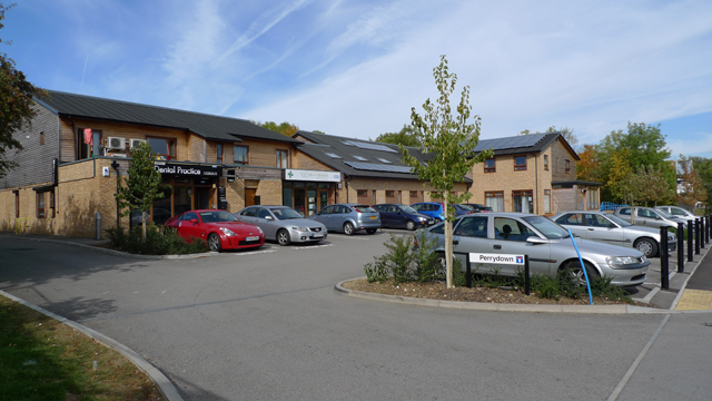
Image: © Cameraman Taken: 24 Sep 2009
The new local medical centre opened earlier this year. It replaced an old facility attached to Milton Keynes Hospital.
Images are licensed for reuse under creativecommons.org/licenses/by-sa/2.0
Image Location
Latitude
52.020069
Longitude
-0.738087