Radford Road
Introduction
The photograph on this page of Radford Road by John Sutton as part of the Geograph project.
The Geograph project started in 2005 with the aim of publishing, organising and preserving representative images for every square kilometre of Great Britain, Ireland and the Isle of Man.

There are currently over 7.5m images from over 14,400 individuals and you can help contribute to the project by visiting https://www.geograph.org.uk
Radford Road
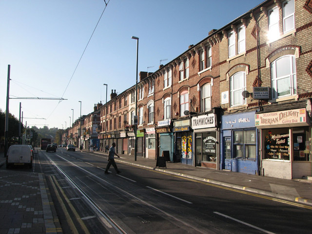
Image: © John Sutton Taken: 24 Sep 2009
Looking towards Hyson Green. The southbound tram line down Radford Road has inspired the jokey name of the sandwich shop on the right. "Tramwiches" is a perfect rhyme as sandwich is pronounced "samwidge" by true Nottinghamians. Apart from a church and two cinemas, Radford Road used to be more or less all three-storeyed shops like these on both sides from Bentinck Road to Wilkinson Street. Those on the east side between Berridge Road and Gregory Boulevard were demolished a while ago.
Images are licensed for reuse under creativecommons.org/licenses/by-sa/2.0
Image Location
Latitude
52.967345
Longitude
-1.171965