John Street, Filey
Introduction
The photograph on this page of John Street, Filey by phillip andrew carl taylor as part of the Geograph project.
The Geograph project started in 2005 with the aim of publishing, organising and preserving representative images for every square kilometre of Great Britain, Ireland and the Isle of Man.

There are currently over 7.5m images from over 14,400 individuals and you can help contribute to the project by visiting https://www.geograph.org.uk
John Street, Filey
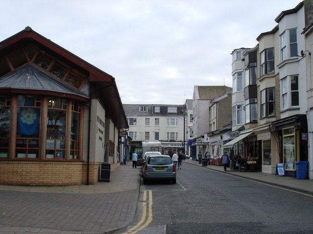
Image: © phillip andrew carl taylor Taken: 18 Sep 2009
Standing at the top of Cargate Hill, looking down John Street, visible on the left is Filey's Evron centre.
Images are licensed for reuse under creativecommons.org/licenses/by-sa/2.0
Image Location
Latitude
54.208232
Longitude
-0.287016