52 and 54, Charles Lane, Milnrow
Introduction
The photograph on this page of 52 and 54, Charles Lane, Milnrow by Dr Neil Clifton as part of the Geograph project.
The Geograph project started in 2005 with the aim of publishing, organising and preserving representative images for every square kilometre of Great Britain, Ireland and the Isle of Man.

There are currently over 7.5m images from over 14,400 individuals and you can help contribute to the project by visiting https://www.geograph.org.uk
52 and 54, Charles Lane, Milnrow
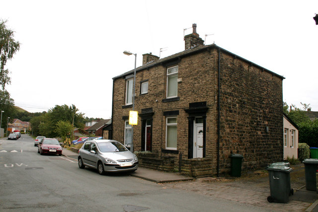
Image: © Dr Neil Clifton Taken: 18 Sep 2009
Solid semi-detached houses which probably date from the late 19th century.
Images are licensed for reuse under creativecommons.org/licenses/by-sa/2.0
Image Location
Latitude
53.607213
Longitude
-2.104244