Track to Nase Wick
Introduction
The photograph on this page of Track to Nase Wick by Trevor Harris as part of the Geograph project.
The Geograph project started in 2005 with the aim of publishing, organising and preserving representative images for every square kilometre of Great Britain, Ireland and the Isle of Man.

There are currently over 7.5m images from over 14,400 individuals and you can help contribute to the project by visiting https://www.geograph.org.uk
Track to Nase Wick
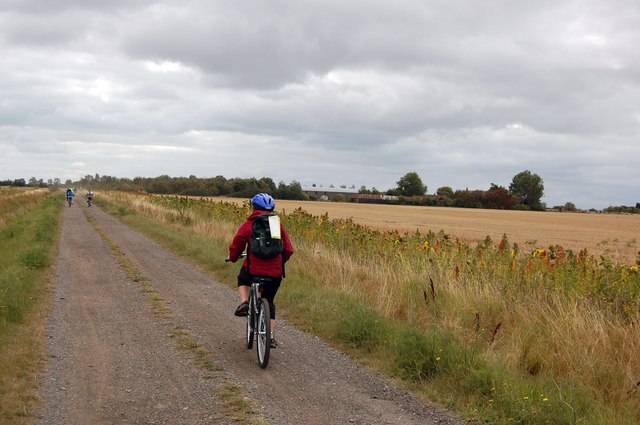
Image: © Trevor Harris Taken: 13 Sep 2009
Taken on the day of a sponsored cycle event on Foulness Island. This track (which passes Nase Wick and rejoins road at the old school - now the Heritage Centre) was the only off-road section. The farm buildings at Nase Wick can be seen among the trees in the distance.
Images are licensed for reuse under creativecommons.org/licenses/by-sa/2.0
Image Location
Latitude
51.609539
Longitude
0.899176