The Weavers' Trail at Kirk Wynd
Introduction
The photograph on this page of The Weavers' Trail at Kirk Wynd by Kenneth Mallard as part of the Geograph project.
The Geograph project started in 2005 with the aim of publishing, organising and preserving representative images for every square kilometre of Great Britain, Ireland and the Isle of Man.

There are currently over 7.5m images from over 14,400 individuals and you can help contribute to the project by visiting https://www.geograph.org.uk
The Weavers' Trail at Kirk Wynd
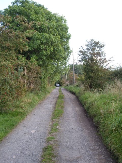
Image: © Kenneth Mallard Taken: 15 Sep 2009
The Weavers' Trail follows the track along Kirk Wynd near Brownmuir Holdings. Click on this link to proceed to Brownmuir Holdings http://www.geograph.org.uk/photo/1493877 or to return to Eaglesham http://www.geograph.org.uk/photo/1450602 and discover about the Weavers' Trail http://www.geograph.org.uk/article/The-Darvel-to-Eaglesham-weavers-trail .
Images are licensed for reuse under creativecommons.org/licenses/by-sa/2.0
Image Location
Latitude
55.736099
Longitude
-4.273021