Upton
Introduction
The photograph on this page of Upton by Tony Atkin as part of the Geograph project.
The Geograph project started in 2005 with the aim of publishing, organising and preserving representative images for every square kilometre of Great Britain, Ireland and the Isle of Man.

There are currently over 7.5m images from over 14,400 individuals and you can help contribute to the project by visiting https://www.geograph.org.uk
Upton
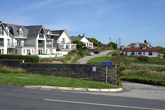
Image: © Tony Atkin Taken: 11 Sep 2009
Upton is a small settlement of private houses and guest houses strung out along a minor road which runs inland and downhill from the coast road.
Images are licensed for reuse under creativecommons.org/licenses/by-sa/2.0
Image Location
Latitude
50.814842
Longitude
-4.554391