The Manor House, Buntingford
Introduction
The photograph on this page of The Manor House, Buntingford by Eirian Evans as part of the Geograph project.
The Geograph project started in 2005 with the aim of publishing, organising and preserving representative images for every square kilometre of Great Britain, Ireland and the Isle of Man.

There are currently over 7.5m images from over 14,400 individuals and you can help contribute to the project by visiting https://www.geograph.org.uk
The Manor House, Buntingford
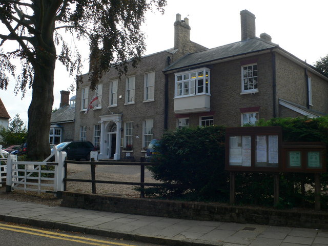
Image: © Eirian Evans Taken: 10 Sep 2009
This building on Market Hill is the C18 Manor House. This is now owned by Buntingford Town Council and houses the Tourist Information Point and Heritage Centre.
Images are licensed for reuse under creativecommons.org/licenses/by-sa/2.0
Image Location
Latitude
51.945532
Longitude
-0.019816