Arnewood, Drumduan Farm
Introduction
The photograph on this page of Arnewood, Drumduan Farm by Mike Faherty as part of the Geograph project.
The Geograph project started in 2005 with the aim of publishing, organising and preserving representative images for every square kilometre of Great Britain, Ireland and the Isle of Man.

There are currently over 7.5m images from over 14,400 individuals and you can help contribute to the project by visiting https://www.geograph.org.uk
Arnewood, Drumduan Farm
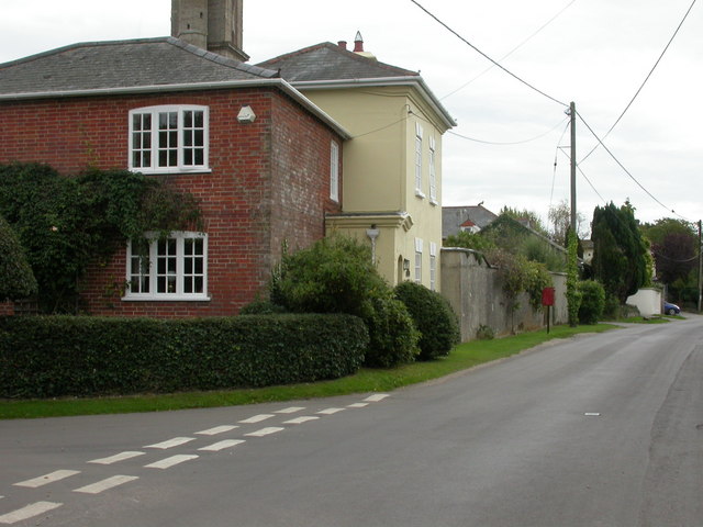
Image: © Mike Faherty Taken: 9 Sep 2009
At the southern side of the junction of Barrows and Flexford Lanes, converted farmhouse, once the property of Andrew Peterson, builder of the Sway Towers Image The house is listed by English Heritage, http://www.imagesofengland.org.uk/Details/default.aspx?pid=2&id=144434
Images are licensed for reuse under creativecommons.org/licenses/by-sa/2.0
Image Location
Latitude
50.770386
Longitude
-1.60501