Hole Ford
Introduction
The photograph on this page of Hole Ford by Kenneth Mallard as part of the Geograph project.
The Geograph project started in 2005 with the aim of publishing, organising and preserving representative images for every square kilometre of Great Britain, Ireland and the Isle of Man.

There are currently over 7.5m images from over 14,400 individuals and you can help contribute to the project by visiting https://www.geograph.org.uk
Hole Ford
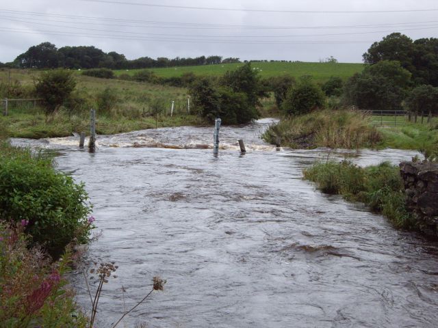
Image: © Kenneth Mallard Taken: 8 Sep 2009
The White Cart Water at Hole Ford looking towards Hole Dam after a few days of heavy rain.
Images are licensed for reuse under creativecommons.org/licenses/by-sa/2.0
Image Location
Latitude
55.753501
Longitude
-4.265109