Towards Greystone Farm
Introduction
The photograph on this page of Towards Greystone Farm by Hugh Mortimer as part of the Geograph project.
The Geograph project started in 2005 with the aim of publishing, organising and preserving representative images for every square kilometre of Great Britain, Ireland and the Isle of Man.

There are currently over 7.5m images from over 14,400 individuals and you can help contribute to the project by visiting https://www.geograph.org.uk
Towards Greystone Farm
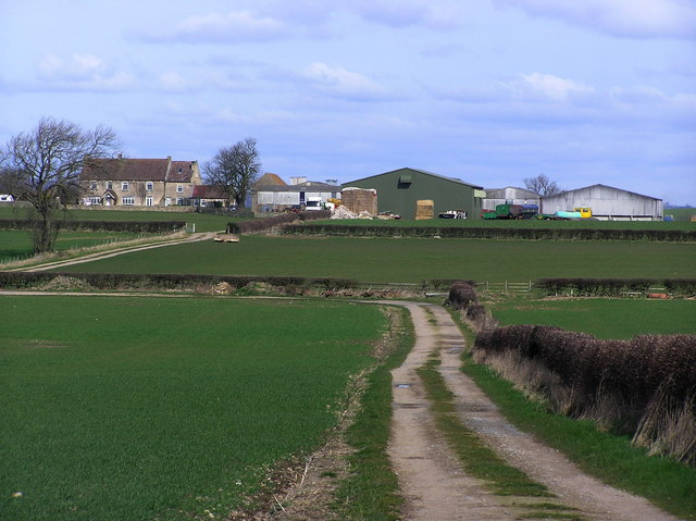
Image: © Hugh Mortimer Taken: 5 Apr 2006
[Moderator note] The grid line is just beyond the second hedgeline, the farm house and buildings straddle Image and Image
Images are licensed for reuse under creativecommons.org/licenses/by-sa/2.0
Image Location
Latitude
54.520982
Longitude
-1.768699