Site of former Bute West Dock
Introduction
The photograph on this page of Site of former Bute West Dock by Gareth James as part of the Geograph project.
The Geograph project started in 2005 with the aim of publishing, organising and preserving representative images for every square kilometre of Great Britain, Ireland and the Isle of Man.

There are currently over 7.5m images from over 14,400 individuals and you can help contribute to the project by visiting https://www.geograph.org.uk
Site of former Bute West Dock
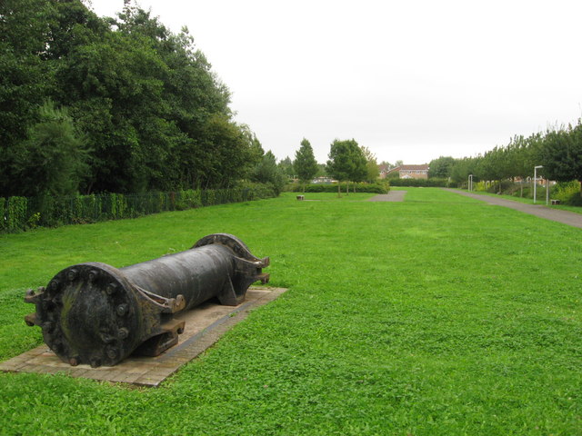
Image: © Gareth James Taken: 31 Aug 2009
Bute West Dock was filled-in in the late 1960s. Part of its location is now a park, and various bits of maritime heritage remain, including this section of iron pipe.
Images are licensed for reuse under creativecommons.org/licenses/by-sa/2.0
Image Location
Latitude
51.474154
Longitude
-3.169376