Bonnyside Road
Introduction
The photograph on this page of Bonnyside Road by Richard Webb as part of the Geograph project.
The Geograph project started in 2005 with the aim of publishing, organising and preserving representative images for every square kilometre of Great Britain, Ireland and the Isle of Man.

There are currently over 7.5m images from over 14,400 individuals and you can help contribute to the project by visiting https://www.geograph.org.uk
Bonnyside Road
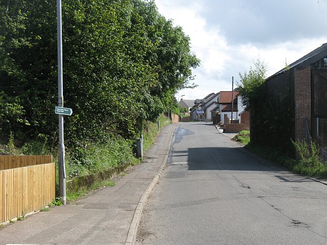
Image: © Richard Webb Taken: 24 Aug 2009
Leads to paths running beside the Antonine Wall. The road is industrial on one side, with a row of recently built houses on the northern side. A still vacant plot visible behind the footpath sign.
Images are licensed for reuse under creativecommons.org/licenses/by-sa/2.0
Image Location
Latitude
55.999806
Longitude
-3.88306