High Castleton
Introduction
The photograph on this page of High Castleton by Colin Grice as part of the Geograph project.
The Geograph project started in 2005 with the aim of publishing, organising and preserving representative images for every square kilometre of Great Britain, Ireland and the Isle of Man.

There are currently over 7.5m images from over 14,400 individuals and you can help contribute to the project by visiting https://www.geograph.org.uk
High Castleton
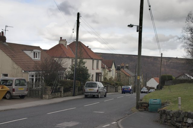
Image: © Colin Grice Taken: 3 Apr 2006
Looking down the village towards the school. On old maps, High Castleton was separate from the lower part of the village, modern housing as seen here has filled in the gap over the last50 years or so.
Images are licensed for reuse under creativecommons.org/licenses/by-sa/2.0
Image Location
Latitude
54.461868
Longitude
-0.944778