Dunstable: Track to Totternhoe
Introduction
The photograph on this page of Dunstable: Track to Totternhoe by Nigel Cox as part of the Geograph project.
The Geograph project started in 2005 with the aim of publishing, organising and preserving representative images for every square kilometre of Great Britain, Ireland and the Isle of Man.

There are currently over 7.5m images from over 14,400 individuals and you can help contribute to the project by visiting https://www.geograph.org.uk
Dunstable: Track to Totternhoe
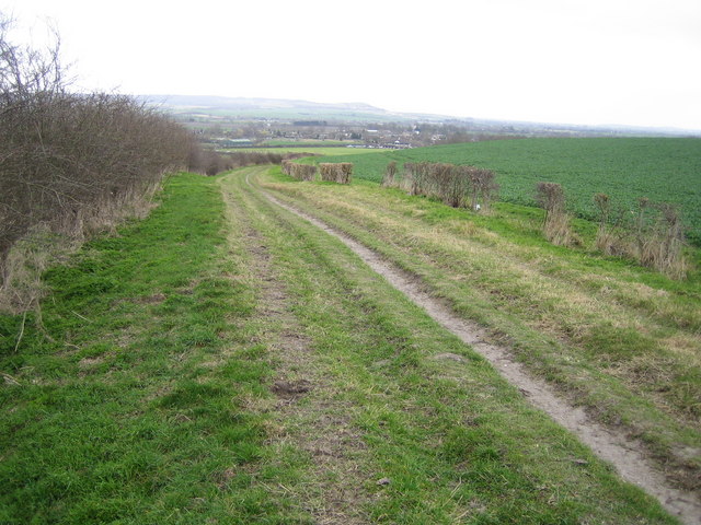
Image: © Nigel Cox Taken: 2 Apr 2006
Viewed looking south westwards from about a hundred metres south west of The Icknield Way Path along a track that was probably a drove road in the past. The distant hill is Ivinghoe Beacon in Image
Images are licensed for reuse under creativecommons.org/licenses/by-sa/2.0
Image Location


Leaflet Map data © OpenStreetMap
Latitude
51.885872
Longitude
-0.554264