Heathcote Lane, Heathcote
Introduction
The photograph on this page of Heathcote Lane, Heathcote by Robin Stott as part of the Geograph project.
The Geograph project started in 2005 with the aim of publishing, organising and preserving representative images for every square kilometre of Great Britain, Ireland and the Isle of Man.

There are currently over 7.5m images from over 14,400 individuals and you can help contribute to the project by visiting https://www.geograph.org.uk
Heathcote Lane, Heathcote
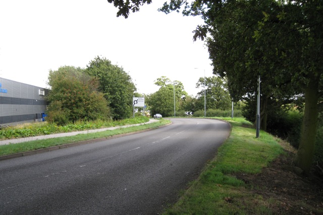
Image: © Robin Stott Taken: 22 Aug 2009
Approaching its junction with Hawkes Drive and Macbeth Approach - scary! While farmland, right, remains undeveloped as a business park (despite being a prime site with planning permission), Heathcote Lane manages to feel semi-rural.
Images are licensed for reuse under creativecommons.org/licenses/by-sa/2.0
Image Location
Latitude
52.269705
Longitude
-1.551532